SAINT-HELENA-SHN2 station
Name : SHN2
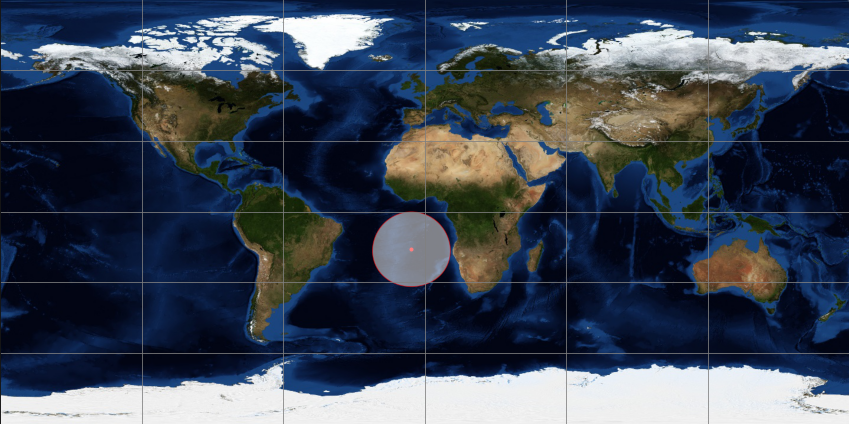
Location : Saint Helena – Atlantic Ocean
Latitude : -15.9425
Longitude: -5.6672
Hosting : St Helena Met Office
Start-up : November, 12 2019
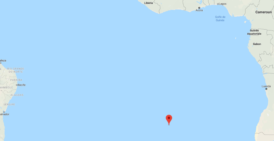
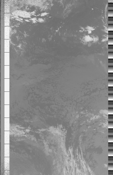
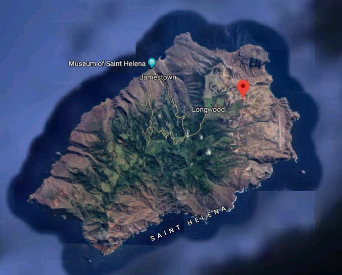
The St. Helena station is located on the east side of the island, near the town of Longwood. The island of St. Helena is a 122 km² British island with a population of less than 5,000. It is located 1856 km from the African coast and 3286 km from the South American coast.
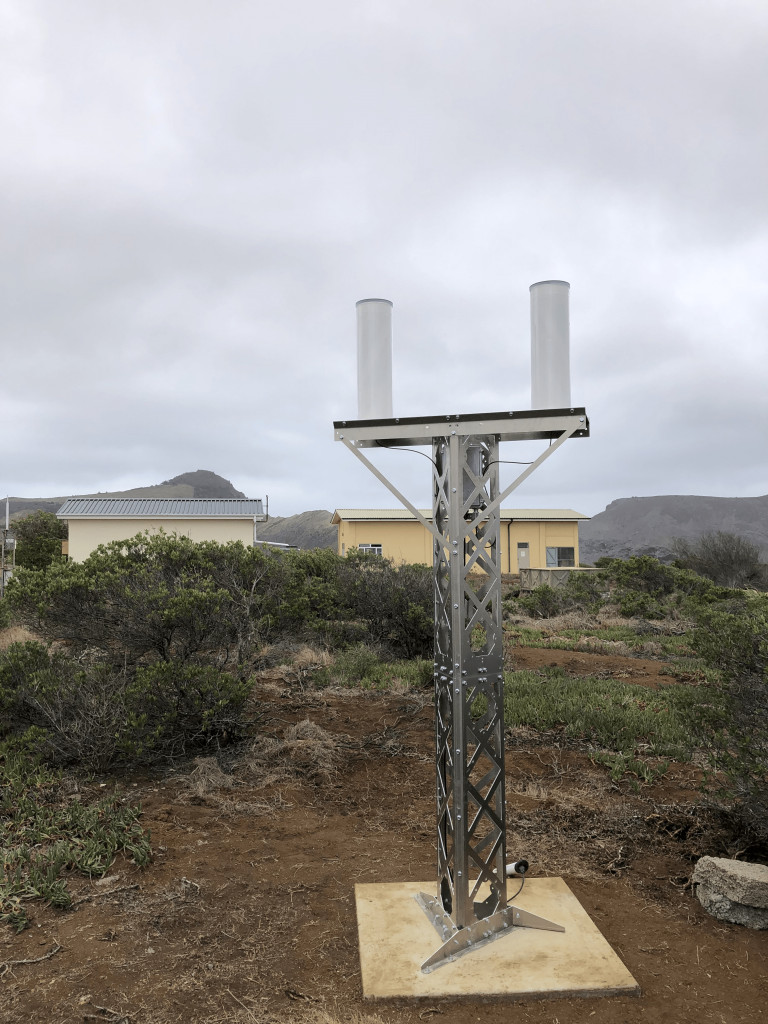
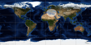
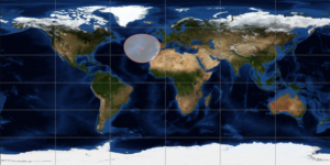
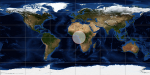
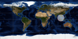
Currently this station is configured to receive data from the NOAA 19 weather satellite. The reconstructed images make it possible to check the quality of the site and to identify possible degradations on the reception of the signals.