Presentation
The NOAA (National Oceanic and Atmospheric Administration) satellites are American meteorological satellites in polar orbit at an altitude of around 850 km. They belong to the observation system set up by the World Meteorological Organization. The first NOAA satellite was launched in 1970 and since then 20 NOAA satellites have been put into orbit. Currently, the NOAA 15, NOAA 18, NOAA 19 and NOAA 20 satellites are in service. The first three are from the fifth generation of these satellites, the NOAA POES (Polar Operational Environmental Satellites), and are gradually being replaced by satellites such as Suomi NPP launched in 2011 and by JPPS (Joint Polar Satellite System) satellites, of which NOAA 20 is a part. The next three JPPS satellites are scheduled for launch in 2022 and 2031.
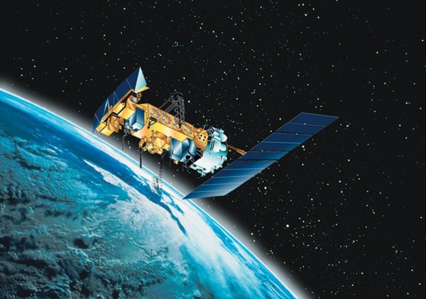
These satellites are dedicated to meteorological observations, in particular the observation of phenomena impacting the marine environment. For these studies, various instruments are embarked, including a radiometer to monitor cloud masses in order to measure maritime or continental surface temperatures, an infrared sounder providing temperature and humidity profiles of the atmosphere and a scatterometer to determine the direction and speed of winds over maritime surfaces.
Characteristics of the NOAA 18 and NOAA 19 satellites
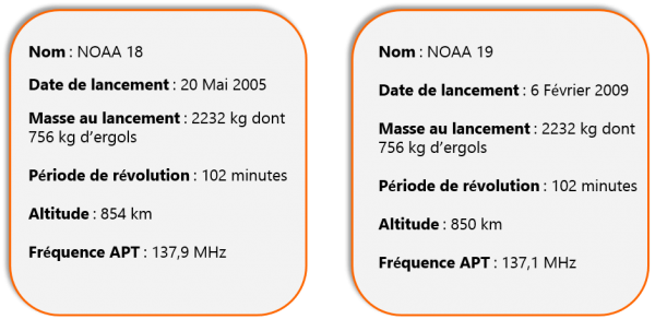
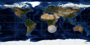
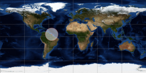
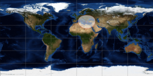
Their period of revolution is such that each satellite flies over the equator 14 times a day, in ascending and descending passages. The same region is overflown at least 4 times a day by the same satellite at an interval of about 6 hours.
Interest in the SVOM mission
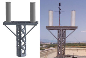
SVOM is scheduled to be launched at the end of 2021. These satellites will be used to test upstream the reception of signals by the antennas of the alert network, which is currently being deployed. The APT frequency of these satellites is close to the SVOM alert transmission frequency (137-138 MHz), which makes them very interesting satellites for this test phase. The images reconstructed by the stations from the signals sent by NOAA 18 and NOAA 19 make it possible to estimate the quality of the installation site and to predict possible disturbances that could have an impact on the reception quality of the signals sent by SVOM.
The APT mode
APT (Automatic Picture Transmission) mode is an analog picture transmission system. Observation satellites are equipped with a scanning radiometer, a system consisting of several lenses, sensors and mirrors controlled by motors. The radiometer scans the Earth’s surface line by line and as the satellite moves, a complete image is built up using an imager. 120 lines are transmitted every minute. The name APT comes from the fact that the transmission of these images is automatic and continuous.
Type of image reconstructed
Each image is constructed in the same way. From left to right we can see: a synchronization band, a time marker, the image itself and a telemetry band. This succession is repeated twice, with the visible image on the left and the infrared image on the right.
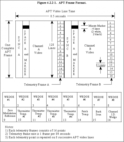
At each frame reception, the synchronization appears as vertical black lines on the left side of the image while the telemetry data appears as “wedges” carrying calibration and other information. The markers are alternating horizontal black and white traces for the visible channel, white and black traces for the infrared channel, the synchronization is alternating vertical bands and the telemetry is alternating grey level bands used as a reference to decode the image.
Here is the type of images reconstructed by the stations after receiving the signal from a NOAA satellite:
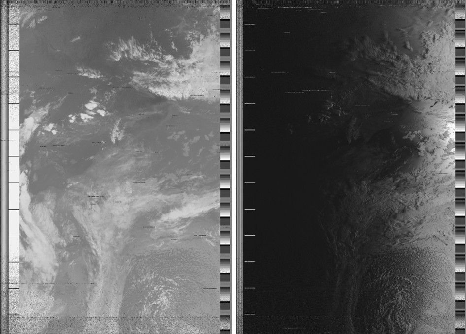
For the test phases through the study of these images, only infrared images are considered because they can be made at any time and their quality is less random than those made in the optical field.

