The design
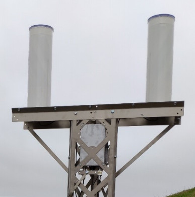
The stations installed on each site are supplied by CNES and manufactured by INGESPACE. They all have the same architecture, i.e. a mast on which is placed a platform supporting two antennas circularly polarized in opposite directions.
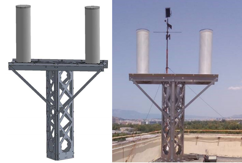
The set rests on a foot allowing to integrate the station where one wishes. There are several designs of the antenna stand to adapt to the constraints of the host site.
A waterproof housing is placed in the upper part of the station mast. In this box are the electronics for processing the signal received by the antennas and the modem for data transmission to the French Scientific Centre (FSC) via the Internet.
The installation
Each station is installed to have as few caches as possible so that the signals received by the antennas are not disturbed. A survey around the antenna is therefore carried out at the time of installation to identify the masks.
To communicate with the station and transmit data to the FSC only an internet connection is required. In most cases an Ethernet cable is used to connect the antenna to an Internet access switch. But for some very isolated sites a 4G mobile link will be installed.
Thereafter, the station operates in a totally passive way by receiving the data frames sent, today by the NOAA (National Oceanic and Atmospheric Administration) satellites and from 2022 by the SVOM satellite.
Test phase with NOAA satellites
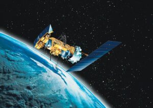
Pending the launch of the SVOM satellite, the stations are configured to receive signals from either the NOAA 18 or NOAA 19 satellites. These NOAA (National Oceanic and Atmospheric Administration) satellites are US weather satellites launched in 2005 and 2009 respectively. They are in polar orbit around the Earth at an altitude of 850 km and have a period of 101-102 minutes. Their initial objective is to observe meteorological phenomena, particularly in the marine environment.
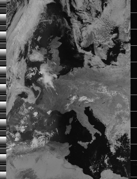
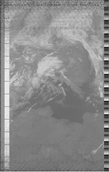
For the SVOM mission, these satellites are used to test the quality of reception facilities. In fact, these satellites pass over the station several times a day and send data that enable an image of the Earth and the atmosphere to be reconstructed.
These data are sent in APT (Automatic Picture Transmission) mode at frequencies of 137.9125 MHz for NOAA 18 and 137.100 MHz for NOAA 19. Two categories of images are formed: infra-red and visible in order to have a readable image for any passage of day or night.
